 On Saturday morning Gary and I decided to go for a hike, as a training for our Kilimanjaro trip in late May. We started off with a full English breakfast at Mark Kitto’s The Lodge (coffee, OJ, toast, bacon, eggs, mushrooms, tomato – all served on their terrace overlooking the valley) so we would have enough energy. They also gave us a basic map with a 3 hour hike that we decided to do. That the map was really basic we found out quickly: after 30 minutes we figured that we had missed a path, because we were at the wrong location. Probably because we were too busy discussing the future of the internet or some other related topic. Never mind, we would find our own way through the woods, it could not be too difficult we assumed.
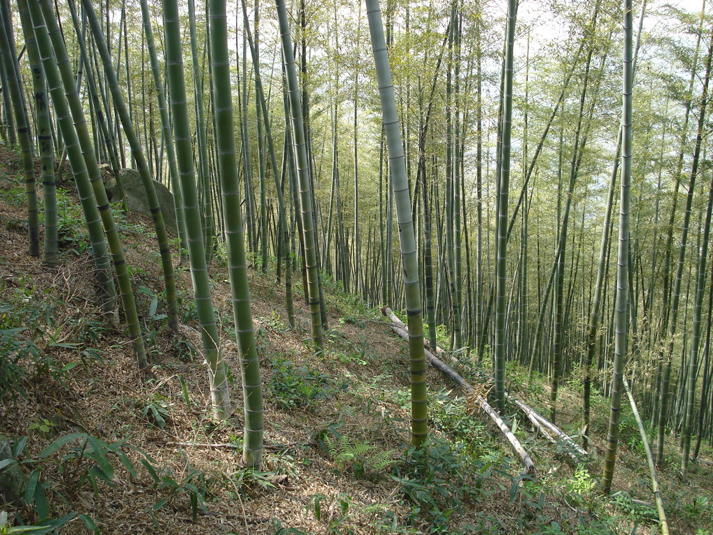 The hike was nice, although there was hardly a flat part in it. But that’s what we wanted, because also on Kilimanjaro we do not expect too many easy tracks. We walked through tea plantations and bamboo forests, and except for a few local farmers we did not meet a soul during the hike. Even at the temple that we passed along a stream in the valley we did not see anybody. Most of the tracks were quite steep, and we walked down for more than an hour. Eventually around 1 PM we came to a small village where we asked for directions. They told us there was a small path from the village up to the village on top of Moganshan. We took the path and soon the track became very steep. Also the track split, the left part went deeper into the forest, the right one followed a small stream. Of course no sign telling us which direction we had to go. Because our path would pass by a reservoir we decided to follow the stream. After about 15 minutes the track had completely vanished and we were struggling to climb up the hill. The mountain was probably about 45% steep at this point and we literally had to climb from bamboo tree to bamboo tree. Quite fun, but the only problem was that there was a press conference planned at 3 PM, and it was 1:45 PM. According to our altitude meter we were over 550 meters already, and the village was at about 650 meters, so we should be almost at the top. A while later we were at 680 meters, however, and there was still no sign of the top of the mountain nor of a village. Even worse, thick vegetation blocked our way completely and we could not continue.
Right at that moment my wife called to check where we were and to remind us of the press conference. I had to admit that I had no idea anymore where we were – something that does not happen often to me. Because of the time we decided to hike back to the village and I asked my wife to arrange a driver to pick us up there. Going down was a lot easier, but also more dangerous. We jumped from bamboo tree to bamboo tree, and were down in about 25 minutes. There a car was waiting for us and at 10 minutes to 3 we were back on the mountain. It turned out that we had indeed taken the wrong turn, we should not have followed the stream. Because of that we literally ended up on the wrong mountain, so even if we had made it to the top we still had to go down into another valley before we could hike up Moganshan. We had made the right decision to go back, and all in all it was a great experience. But next time we’ll bring a better map and a GPS!